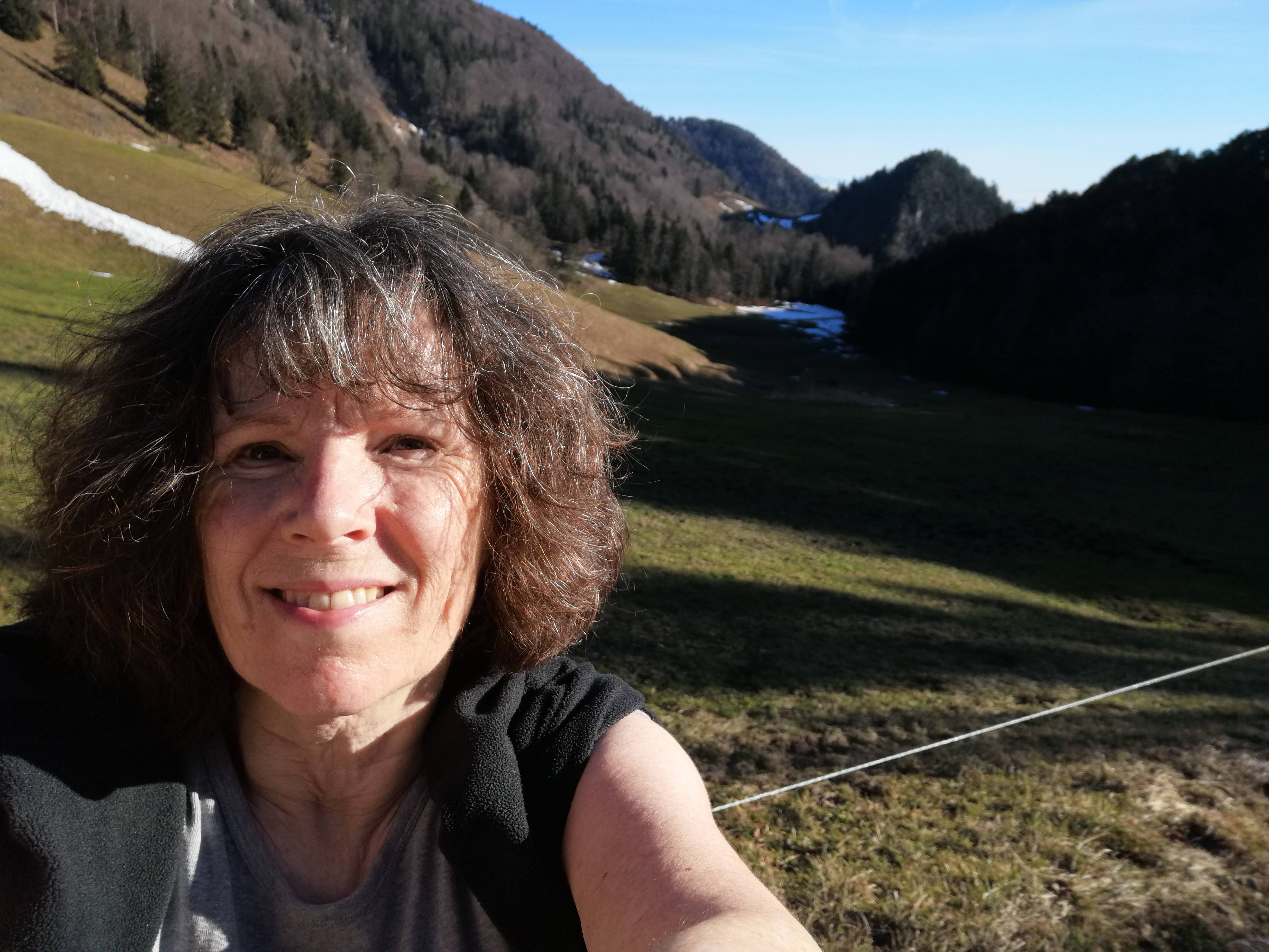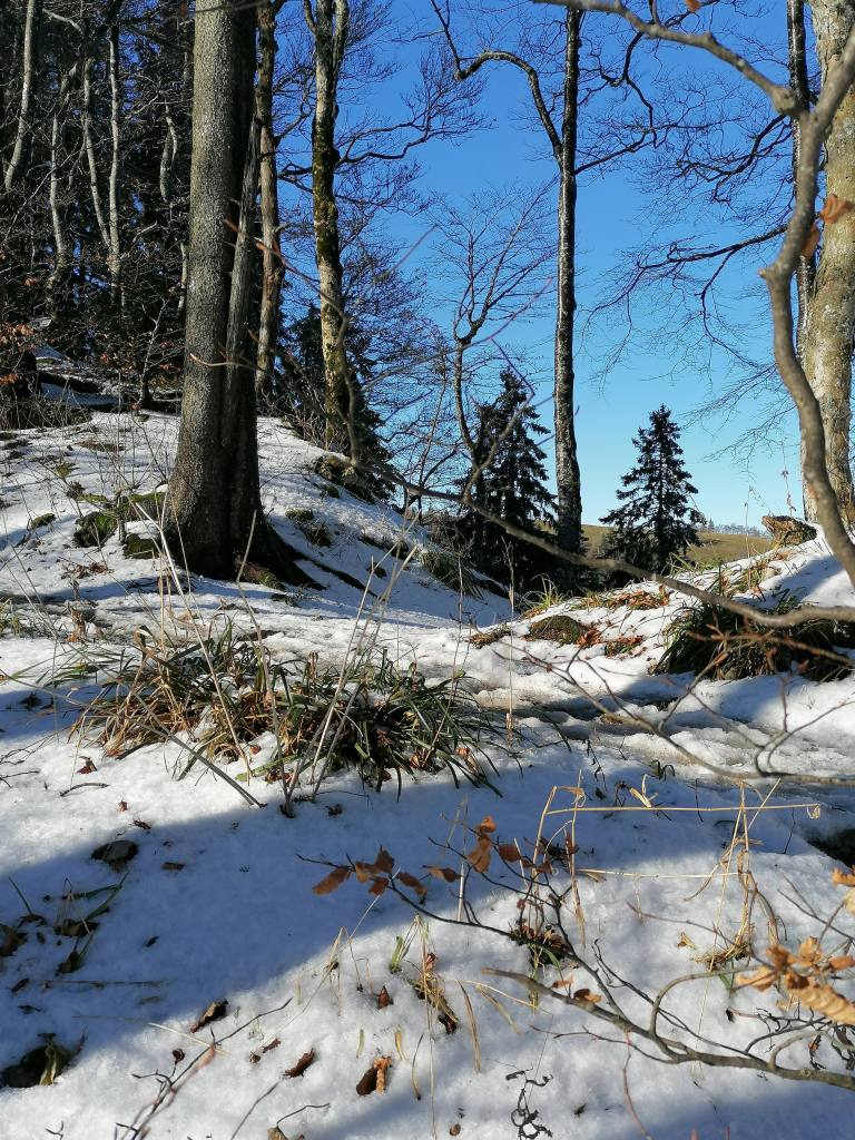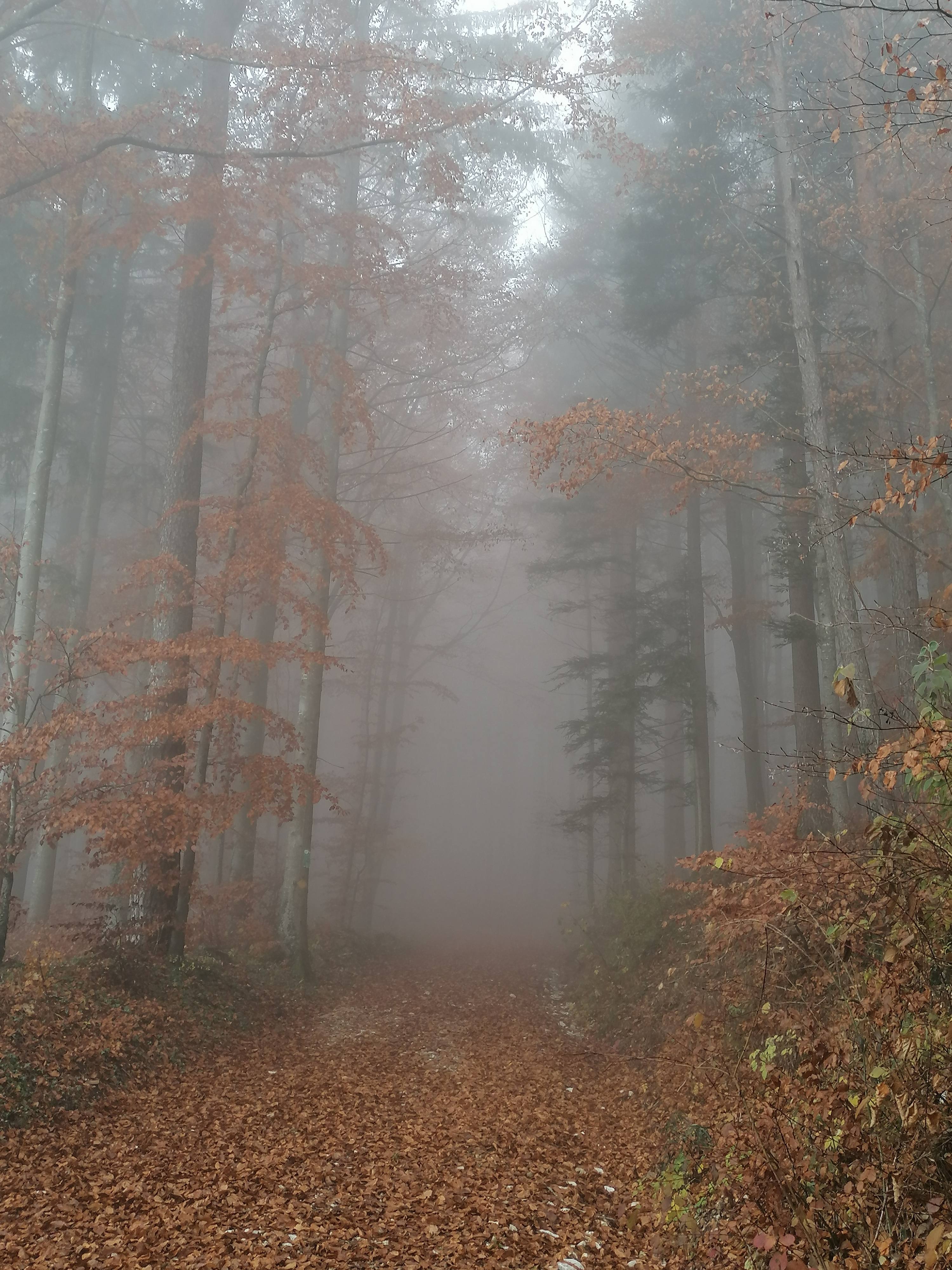

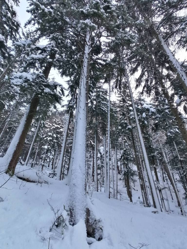
Our first snowshoe outing saw us leave from Oberbalmberg and head towards Weissenstein, on the Jura. A fresh quantity of snow had fallen about one week ago and the local skilifts were working. We crossed the ski slope and walked up through the forest, on a well trodden path. We prefer making our own path in open fields but there was no other way.
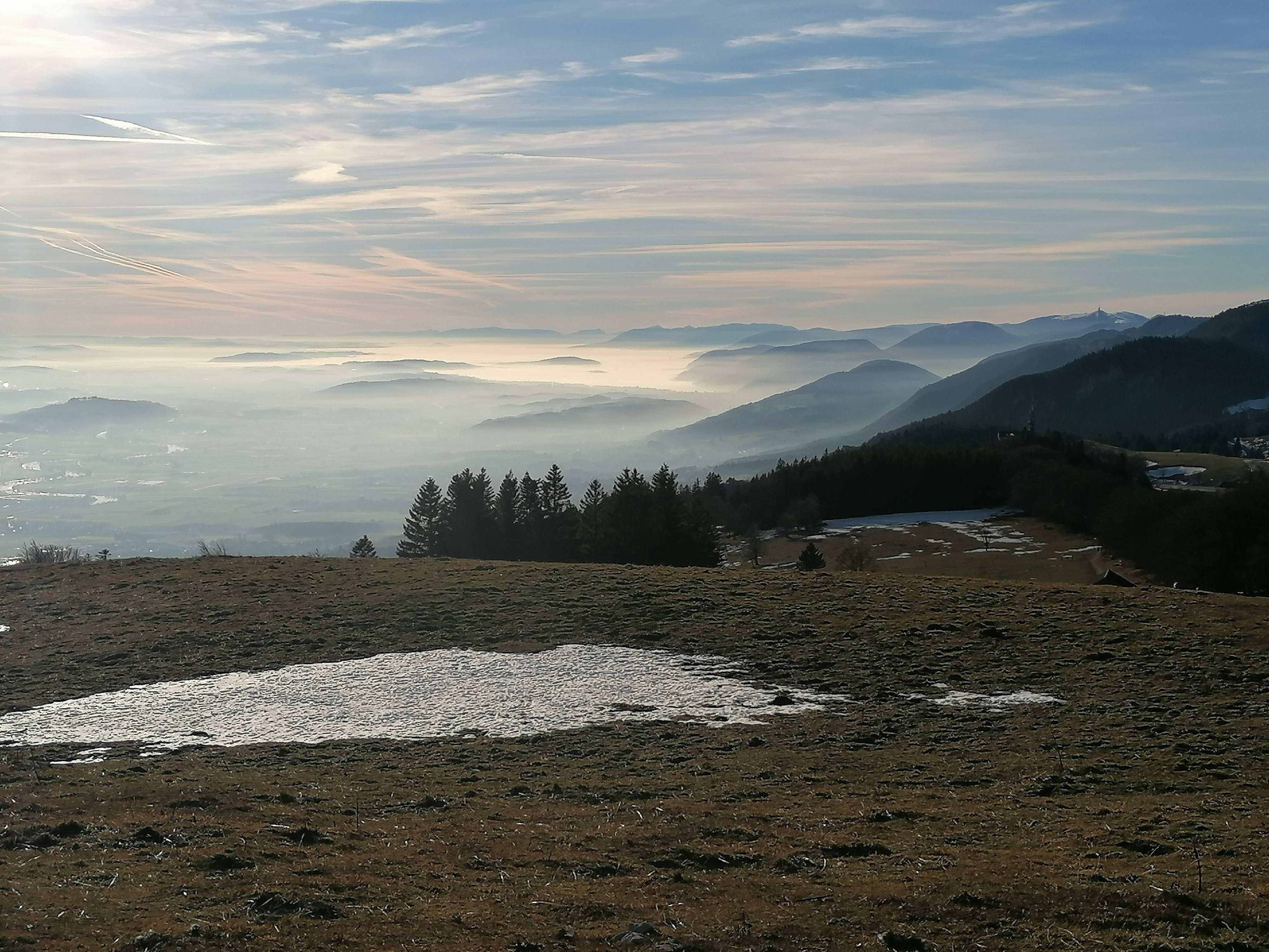
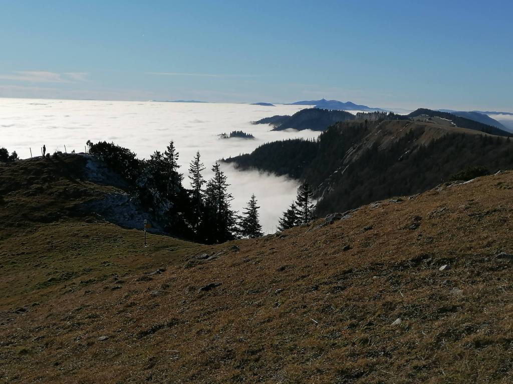
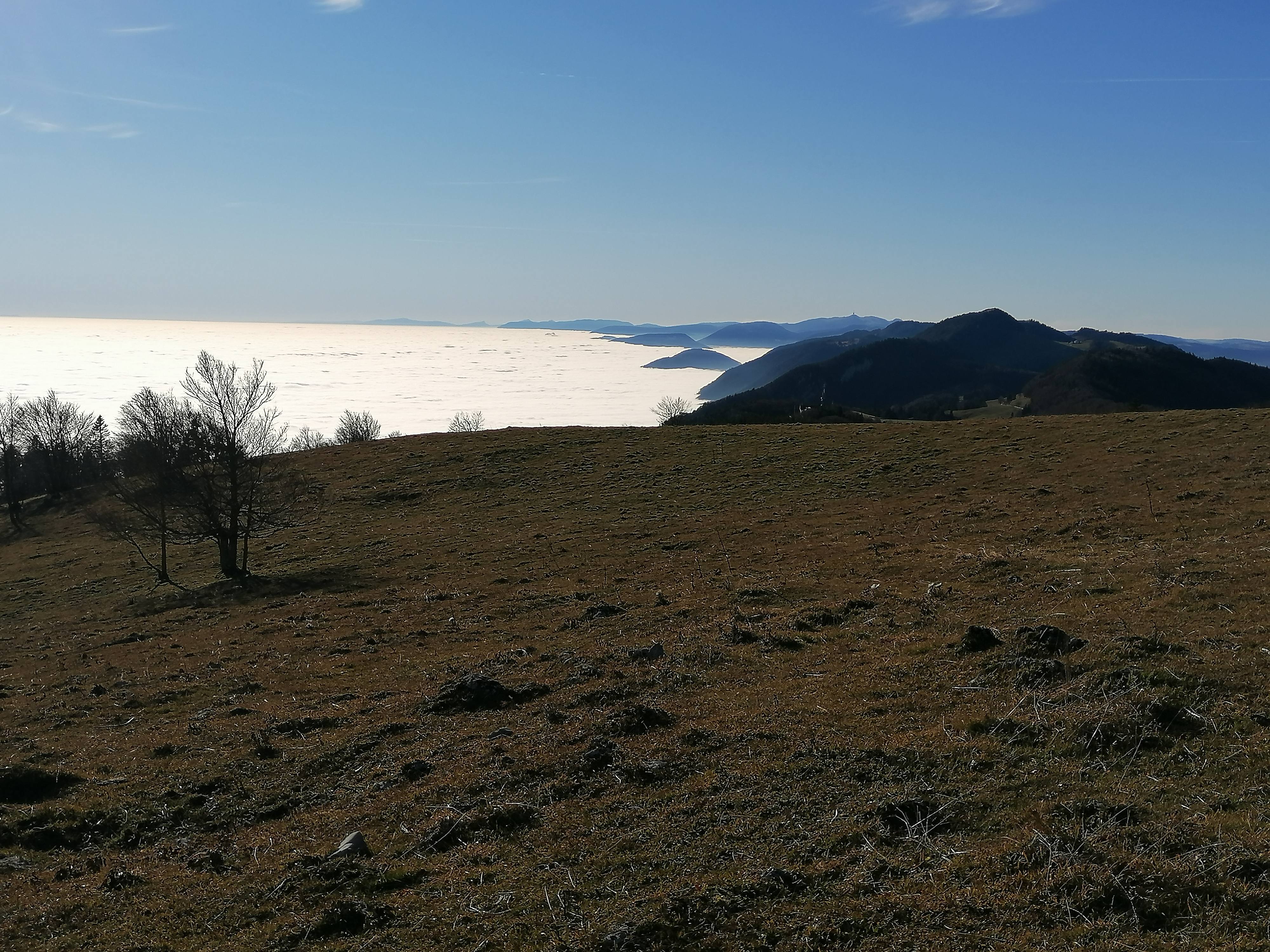
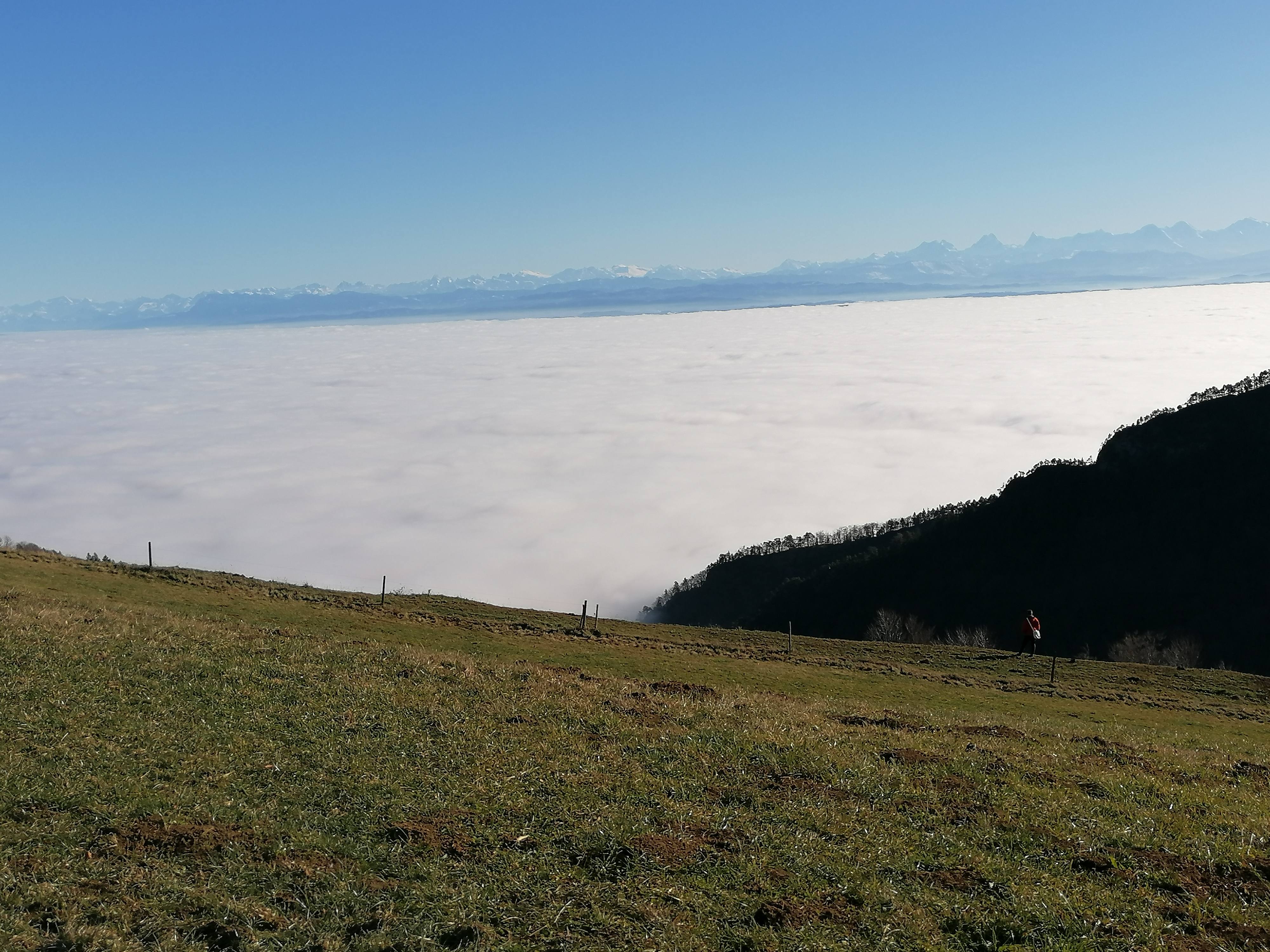
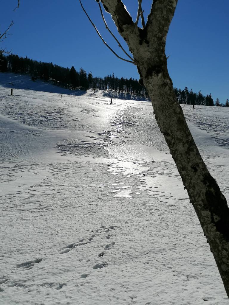
Around Weissenstein, the very mild temperatures and sun of the past 3 days had affected the quality of the snow, a mixture of soft, mushy, wet snow and icy crunch.
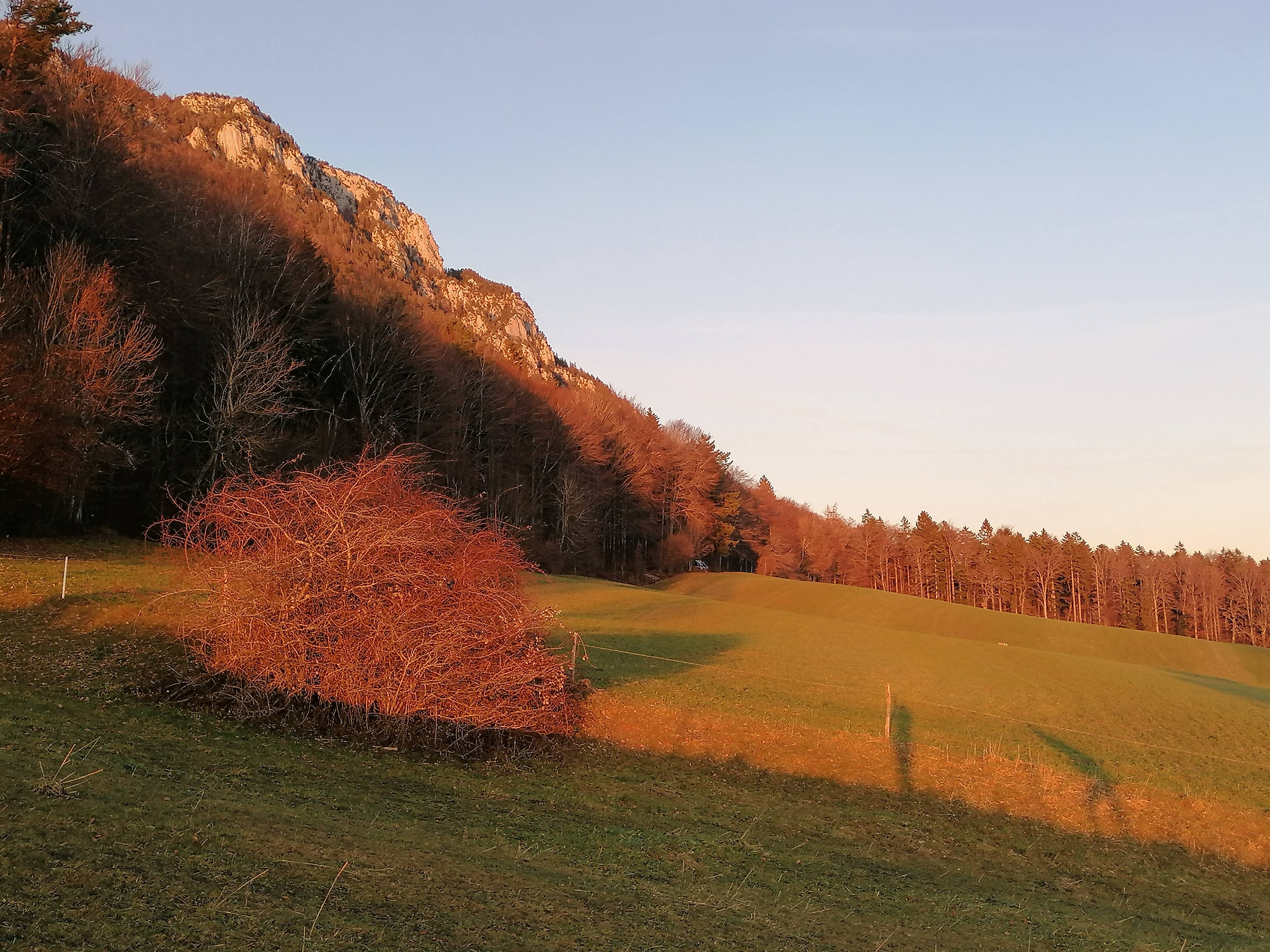
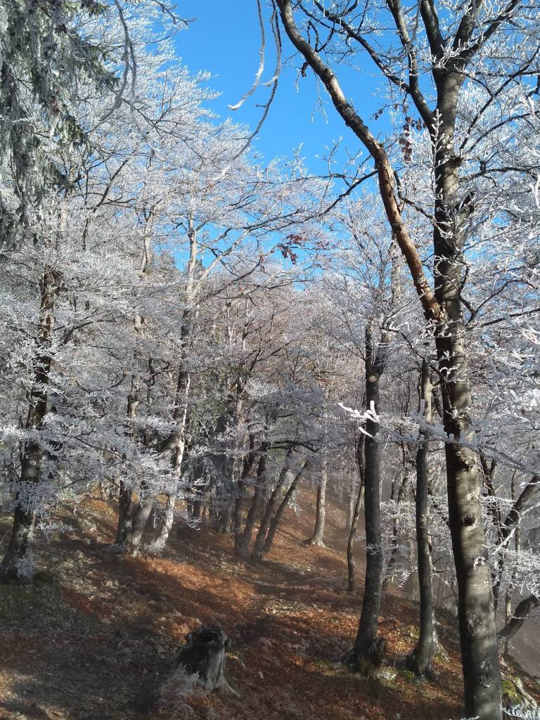
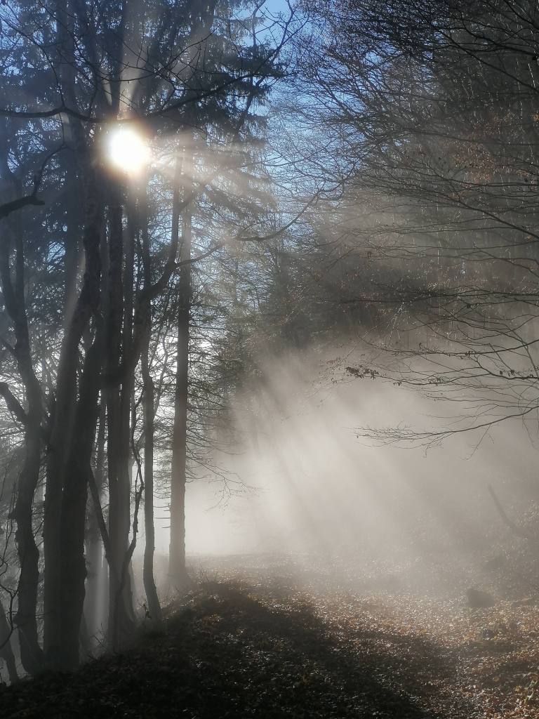
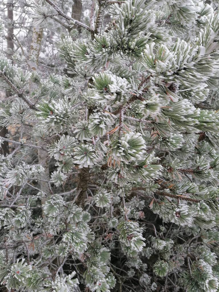
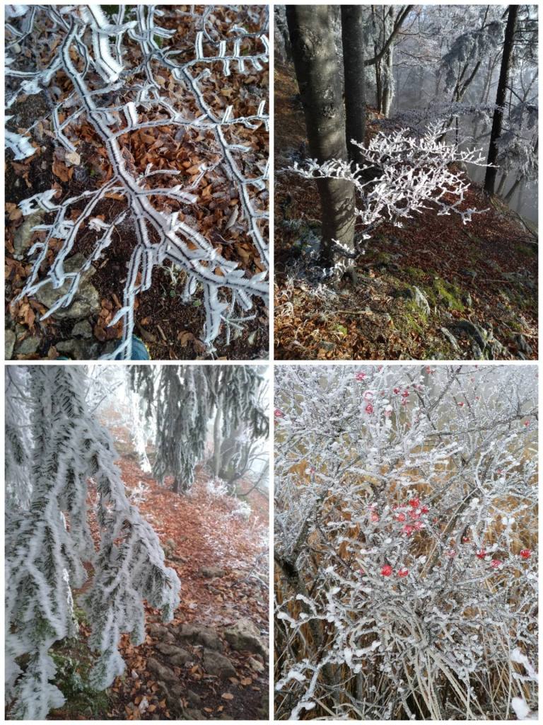
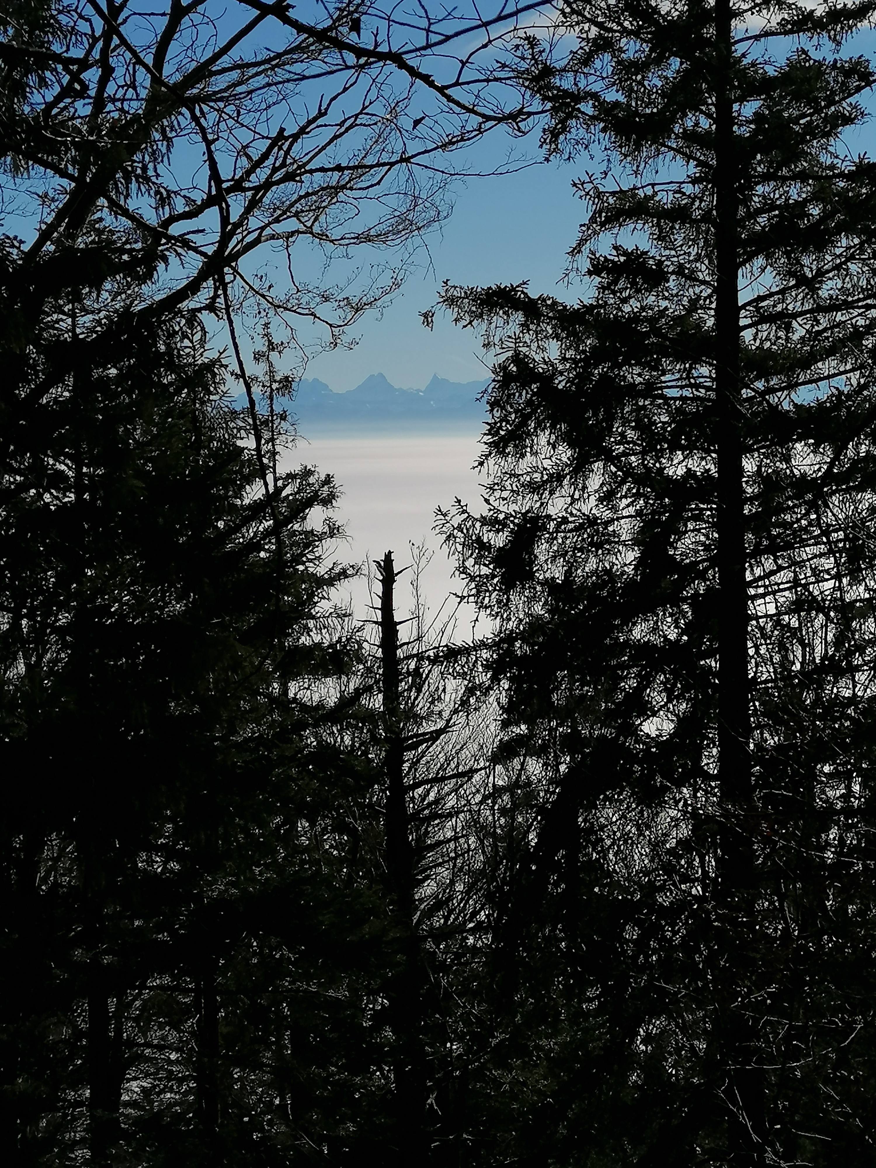
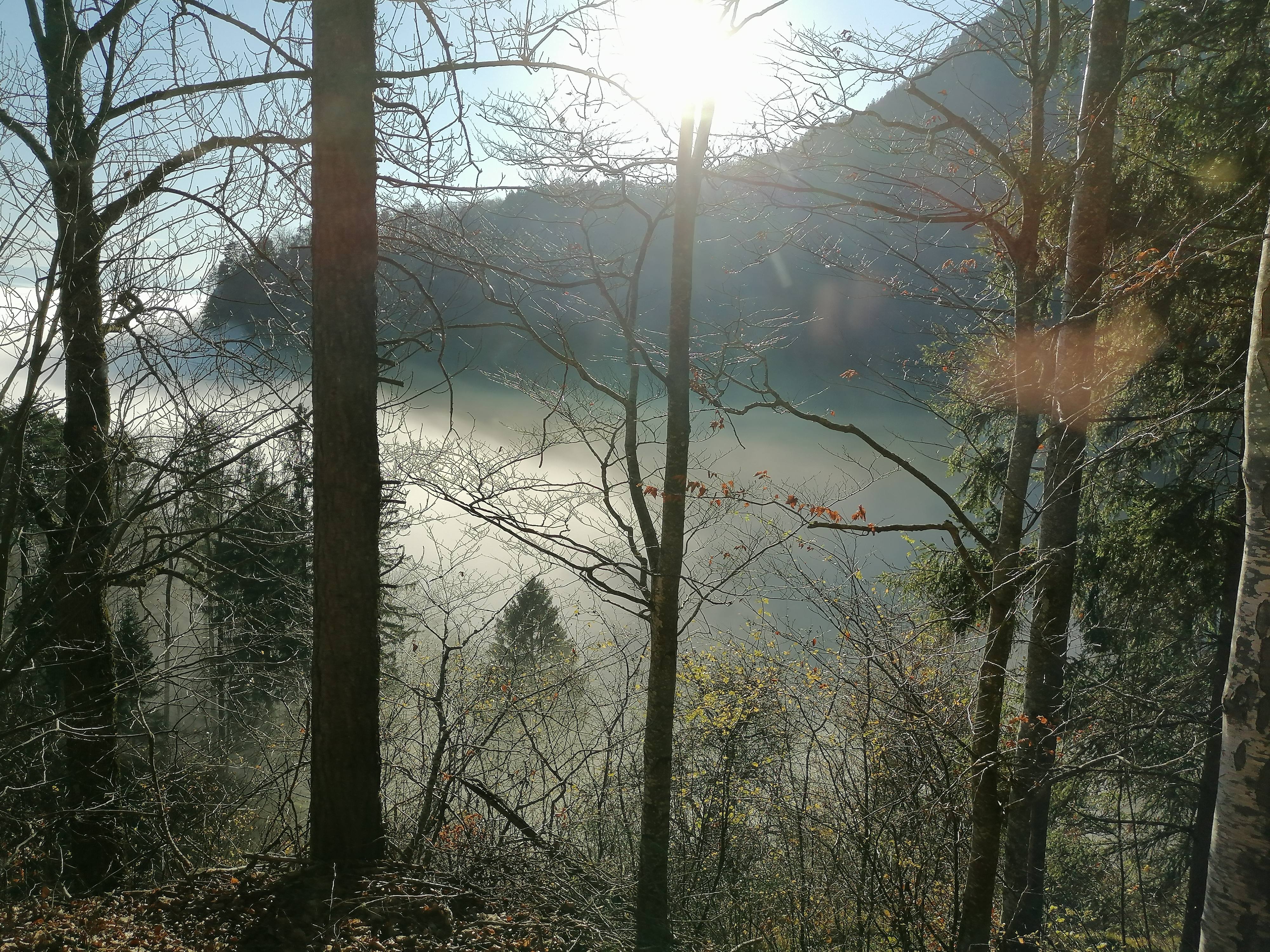
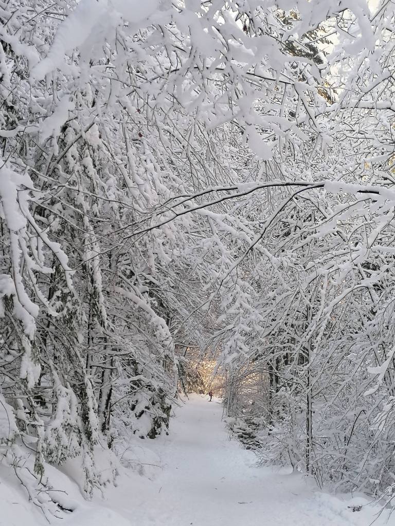
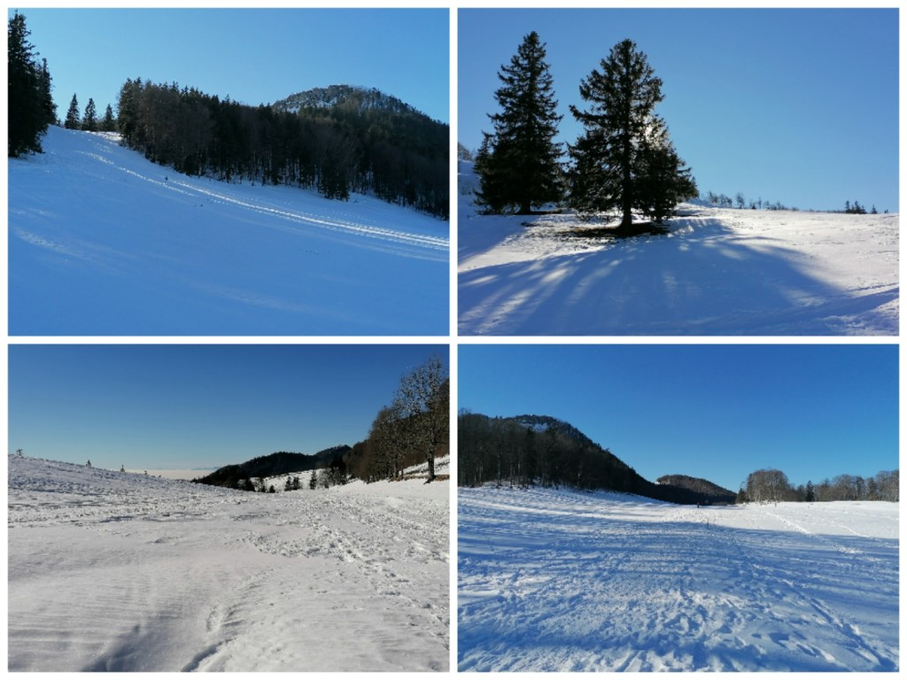
Then it was the long path down, the first part to the middle station of the gondolas again through woods. Then, being on the shady side of the mountain, we were surrounded by beautiful frozen trees, and a blue sky above. As we neared Oberdorf, we turned back onto the sunny side.

Sortie en raquettes
Notre première sortie en raquettes nous a menés de Oberbalmberg à Weissenstein dans le Jura. Une bonne quantité de neige fraîche était tombée la semaine dernière et les skilifts fonctionnaient. Nous avons traversé la piste de ski et sommes montés sur le sentier forestier qui avaient beaucoup été emprunté. Nous préférons tailler notre propre chemin dans les prés enneigés mais il n’y avait pas d’autre choix.
Autour de Weissenstein, les températures douces et le soleil avaient déjà rendu la neige de moindre qualité, un mélange humide et glacé, granuleux.
De là-haut une longue descente, d’abord dans la forêt jusqu’à la station intermédiaire des oeufs. Puis sur le flanc ombragé, magnifique descente parmi les arbres enneigé et gelé, à l’ombre mais sous le ciel bleu. Dans le dernier virage vers Oberdorf, nous avons retrouvé le côté ensoleillé.